
We photographed every garden zone instead of just the flattering angles
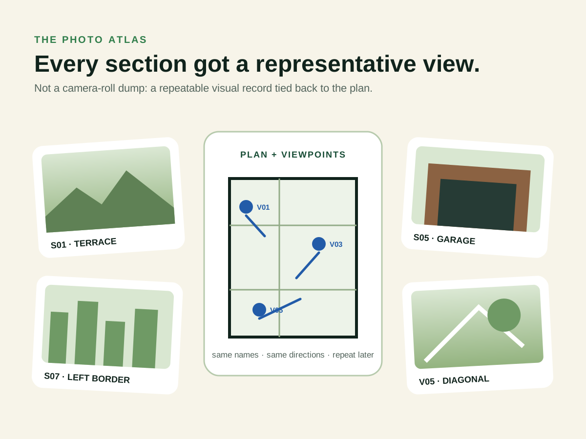
The zoned plan became a photo atlas: representative views of every section, key diagonal and return view, all tied back to named camera positions.
The plan told us where the gaps were
Once the garden had named sections, taking photographs became a different job.
We were no longer trying to make the place look good. We were trying to make it understandable.
We photographed the terrace from the back door, the borders, the view through the orangery, the centre, the garage end and the awkward side areas. We added return views looking back towards the house, a diagonal across the whole space and close-ups where position mattered.
Chairs, washing and temporary clutter were not design features, so we said when the AI should ignore them. The pear tree, garage, doors, drains and boundaries absolutely were design facts, so we called those out repeatedly.
A photo atlas, not a pile of JPEGs
The important change was connecting every image to the plan.
Each photograph had a zone or viewpoint. That meant we could ask:
- What is directly behind the camera?
- Which fixed feature should appear in this direction?
- Does the return view agree with the outward view?
- Which parts of the plan are hidden or contradicted?
- Can we come back later and take the same photograph during the build?
That last point matters. A repeatable viewpoint can become real before-and-after evidence. A beautiful random angle usually cannot.
The unflattering photographs did the best work
The wide shots showed how fragmented the existing surfaces felt. The upstairs view exposed the two drain covers. Close-ups corrected the pear-tree position. Photographs of the orangery later proved that several realistic-looking renders had invented a different extension.
None of those pictures would win a garden photography competition. They were still more valuable than another lovely dusk render because they gave the design something solid to argue with.
The public graphic on this page explains the system without exposing the real property. The original atlas contains recognisable access and neighbouring context, so we are preparing a smaller public-safe set rather than uploading everything and hoping for the best.
Then the questions changed
With the map and representative images in place, AI could stop asking only what we wanted the garden to look like.
It interviewed us about how we actually live: quiet evenings for two, family visits, football nights, winter use, maintenance, budget, materials, lighting, the pear tree and what absolutely had to stay.
That conversation became the design brief—the page every later concept now has to answer to.
Behind this outcome
Build a photo atlas AI can actually use
Planned for the Space: the shot list, viewpoint labels, repeat-photography guide and privacy checklist behind our garden photo atlas.